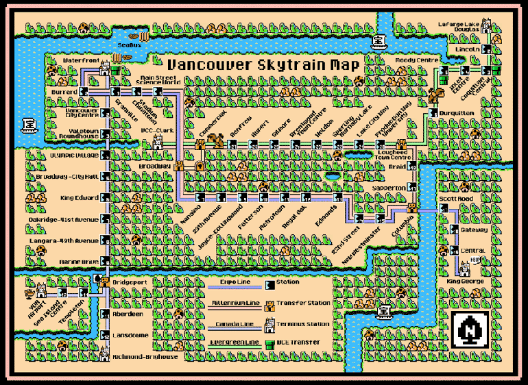
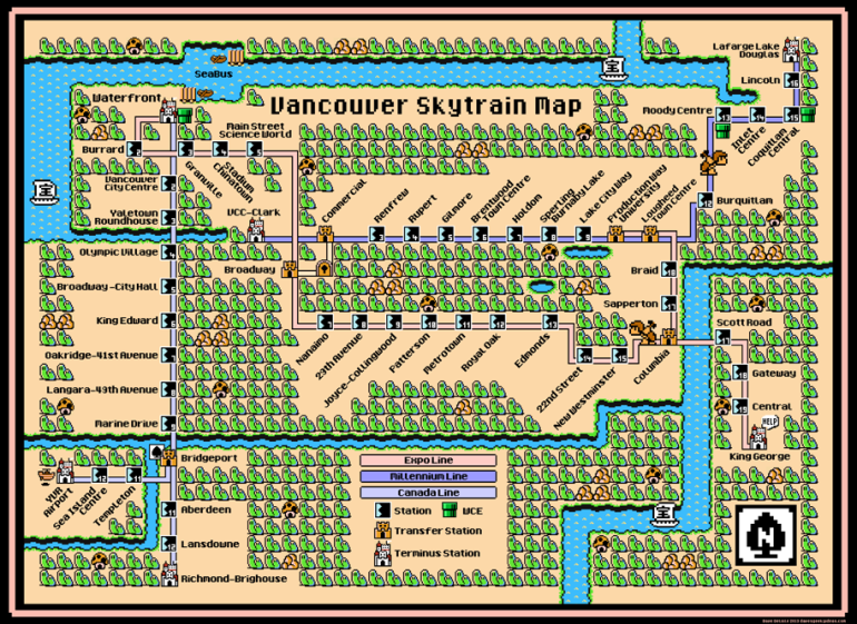
You can buy a high-res poster of this map here.
The new Evergreen extension is about to open in early 2017, so I updated the Vancouver map (again). Previously this was going to be a unique route carrying the name Evergreen Line, but now it’s just an extension for the existing Millennium Line.
Vancouverites if you’re not aware: beginning October 22nd the Expo line will run from Waterfront to King George OR Production Way University. The Millennium Line will run between VCC Clark and Lougheed Town Centre, meaning it will no longer travel to Waterfront. Once the Evergreen extension opens in early 2017, the Millennium line will extend to Lafarge Lake-Douglas.
Hopefully there won’t be any updates until the rumored UBC line opens several years from now. Also, I feel that Translink should re-open the Olympic Line that ran from Granville island to Cambie Street (during the 2010 Olympics), but with an extension that ends near the Main Street-Science World station, if at all possible.